About National Park Atlas
Eight competitions use real, individually reviewed photographs of national parks. Name a park, choose the country it lies in, pin it on a zoomable world map, enter its area in square kilometres or the year it was designated, match ten photographs and names, or uncover five hidden names letter by letter.
The library holds 2,180 national parks in 156 countries, designated up to 2025, across eleven regions from the United States and Canada to Australia and Oceania. Play the famous parks, one region or a balanced world. Areas and designation years are confirmed by two sources.
How to play
- Goal
- Recognize the national parks of the world from photographs, and learn their names, countries, places on the map, areas and the years they were designated.
- How it ends
- Finish ten questions, ten pairs or five hidden names, exhaust the sprint clock, or make one sprint mistake.
- Record
- Best score, highest map, area or year reserve, fastest matching finish or fewest wrong letters, with time and the player’s name.
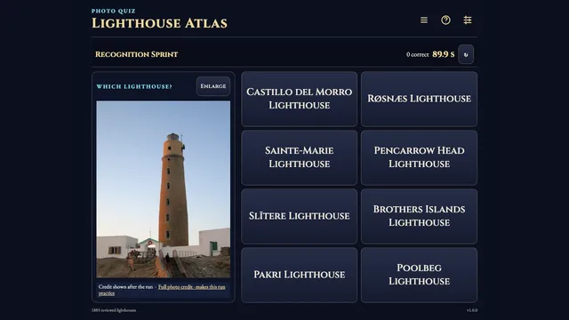
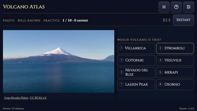
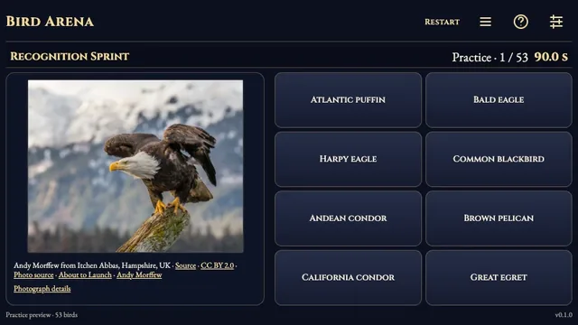
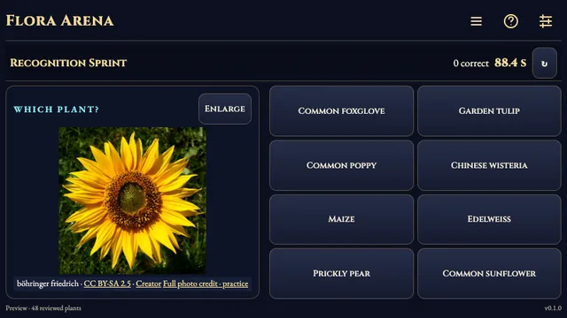
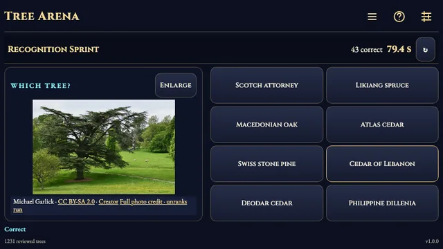
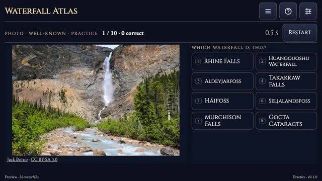
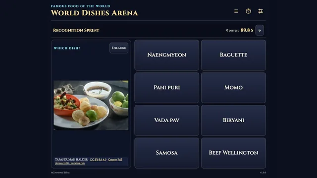
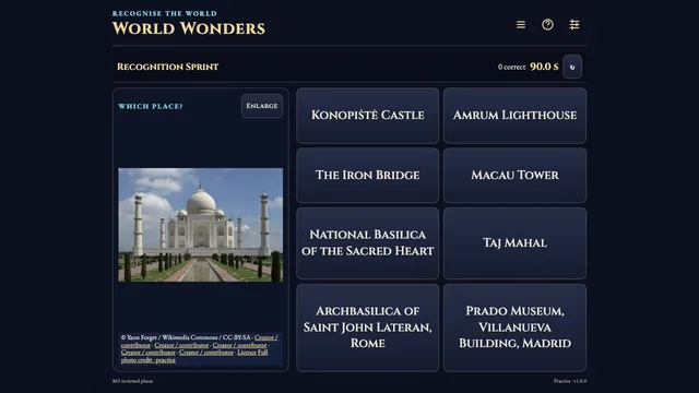
- Recognition Sprint: choose the pictured park from eight names within 90 running seconds; one wrong answer ends the run. Most correct answers wins; the last correct answer’s time breaks ties.
- Name Search: identify ten photographs by typing part of any name, ignoring case and accents, and choosing the park from the filtered list.
- Country: a photograph only, the name hidden until you answer. Choose the country from eight; the others are the countries whose parks lie nearest. Most correct answers wins, then total time.
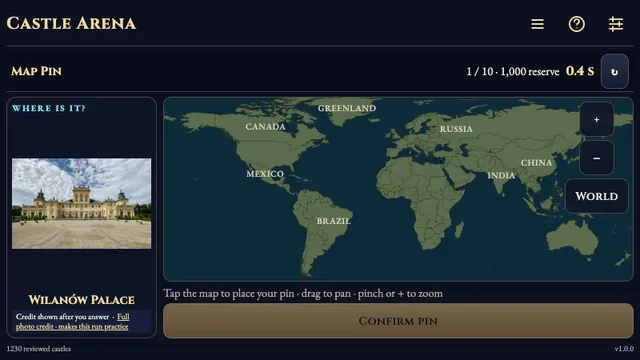
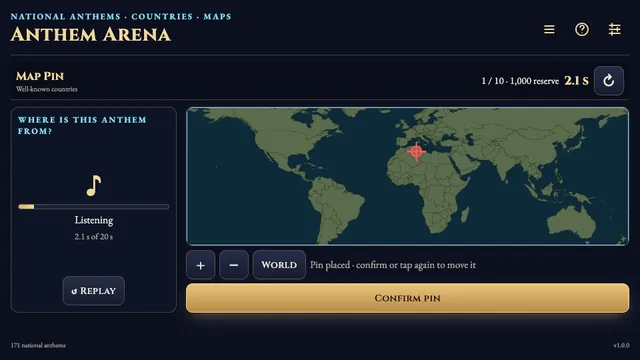
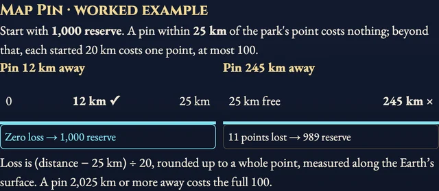
- Map Pin: a photograph only; tap and zoom the world map, then confirm. You start with 1,000 reserve. Within 25 km of the park’s recorded point costs nothing; each further started 20 km costs one point, at most 100.
- Area: enter the area in whole km². Inside the sourced range costs zero; half or double costs 15 points, ten times off 50, at most 100.
- Year Designated: enter the year it became a national park. Inside the sourced range costs zero; each year off costs one point, at most 100. Reserve modes rank by reserve, then time.
- Matching: select or drag a photograph onto its name; each wrong pair adds three seconds. Fastest adjusted finish wins.
- Letter Hunt: five hidden park names. Right letters are free; fewest wrong letters wins.
Controls
| Input | Action |
|---|---|
| Tap / click | Choose answers, countries and matching pairs; double-click or double-tap an answer to confirm it at once |
| Drag | Drag either side of the Matching table onto its partner to make a pair; drag the map to pan |
| Pinch / wheel | Zoom the Map Pin map |
| Type a name | Filter names; Enter chooses a unique result |
| Area or year | Enter a whole number; a number pad supports controllers |
| Enlarge · Zoom in · Fit photo | Inspect the photograph while the clock keeps running |
| 1–8 | Choose an answer |
| Standard controller | D-pad navigates controls and moves the map pin; A selects, B goes back, Y opens Rules, Start opens Settings |
Tips
- Read the land Glaciers, rainforest, savanna and karst narrow the region long before any sign would.
- Zoom before you pin A pin inside 25 km is free; zooming to the right valley saves more than a fast answer.
- Think in orders of magnitude Area loss counts how many times off you are, so landing within double costs far less than a wild guess.
Good to know
Every photograph retains its creator, chosen licence, original title and source links. Creator credits appear beside the photograph; Full photo credit opens the complete attribution and sources. Opening full credits during a ranked question, leaving the tab or restoring an unfinished run makes that attempt practice. Areas and designation years are reviewed ranges, not exact figures.
Watch how to play
Questions
Why do some parks appear in fewer competitions?
A photograph proves no area or year. A park joins those competitions only when Wikidata and the World Database on Protected Areas agree on the fact.
Which parks count?
National parks designated by a country’s national government up to 2025. State and provincial parks are left out.
Why is the name hidden in Country and Map Pin?
Many park names carry their country or region, so the name appears only with the answer.