How to play
- Goal
- Test your knowledge of mountains through height, country and location challenges.
- How it ends
- Complete ten questions, or continue Height Reserve until your metre budget runs out or the collection is exhausted.
- Record
- Your best results are kept separately for every competition and collection in this browser.
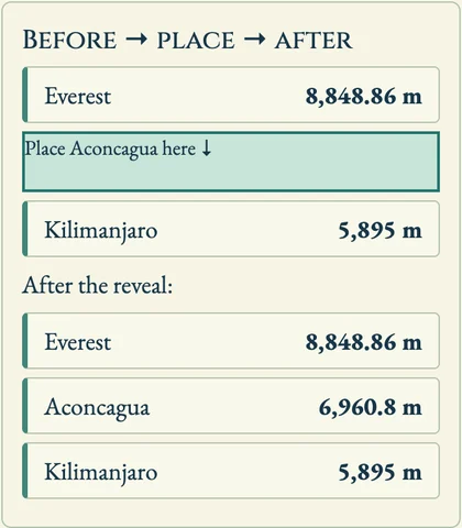
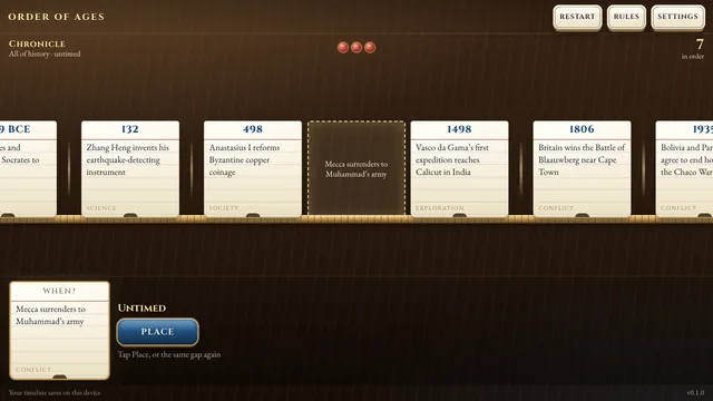
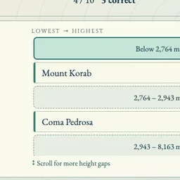
- Height Order: place ten peaks between the mountains already filed, from lowest to highest. Equal reference elevations can go on either side. Higher or Lower is a quick comparison variant.
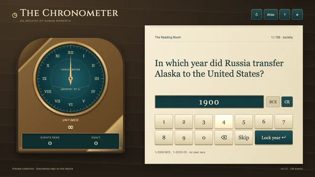
- Height Reserve: enter metres with up to two decimal places. Every metre between your estimate and the summit elevation is deducted from 5,000 metres. Continue until the reserve runs out or all peaks have been used. Ten Heights instead adds the errors from exactly ten estimates.
- Countries: choose a country containing the summit. Documented border countries count, and disputed locations carry scope notes.
- Blind Map: tap to place a pin, zoom and pan to refine it, then confirm. Ten great-circle distance errors are added; the lowest total wins.
- Choose a collection or a daily expedition. Scores are ranked separately by competition and collection; active answering time breaks ties. Menus, reveals and hidden tabs do not count toward answering time.
Controls
| Tap a gap | Place the next mountain in height order |
|---|---|
| Digits / number pad · Enter | Estimate elevation in metres and confirm |
| Country buttons | Choose a summit country |
| Map tap · drag · + / − | Place a pin, pan and zoom; Confirm submits |
| Arrow keys · Enter | Choose a height gap or move and place the map cursor |
| H · R · Escape | Help · restart after confirmation · return to menu |
Personal records and atlas discoveries stay in this browser. Daily attempts are spent at start and can be continued; a revised archive provides a new deal. Elevations use stated reference sources; coordinate precision describes published reporting resolution, not certified survey accuracy. No ads, SDKs or analytics inside the game.
About Summit Atlas
An alpine cartographer’s field desk: file peaks in height order, spend a reserve of metres, name their countries, or place ten pins on an unlabelled world map. Each competition keeps its own personal rankings.
Explore 517 independently reviewed summits: all fourteen eight-thousanders, country and range high summits, Alpine peaks, North America, Africa, New Zealand, and volcanoes. Blind Map uses 253 summit-specific coordinate records. Every reveal links its sources; uncertain summit identities and coordinates stay out of map play.