How to play
- Goal
- Know the world’s waterfalls: their appearance, locations, total heights, single drops and rivers.
- How it ends
- Waterfall Line ends on the third mistake or when its collection runs out; other competitions end after ten questions, placements or pairs.
- Record
- Most correct answers, then fastest answering time; Height Reserve keeps the most reserve, and Matching the fastest time with penalties, separately for each competition and collection.
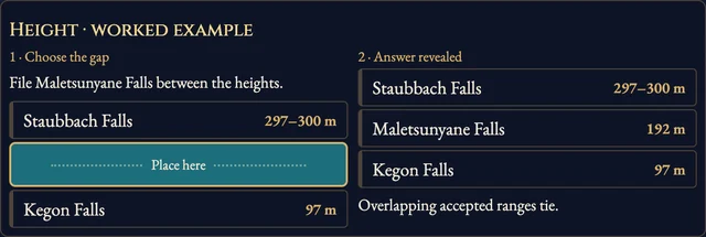
- Waterfall Line: place waterfalls by total height, highest at the top. Three mistakes end the run. Height Order scores ten placements; overlapping accepted ranges tie.
- Single Drop Order: place ten waterfalls by their tallest verified individual drop. This can differ from the complete cascade height.
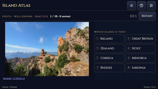
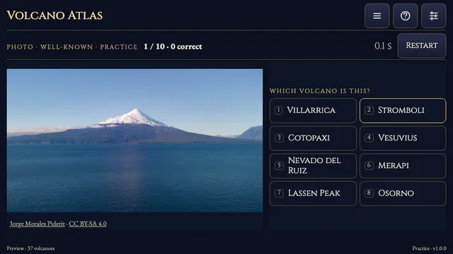
- Photo: identify the pictured waterfall from eight names; ten questions.
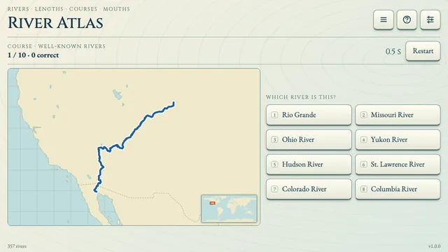
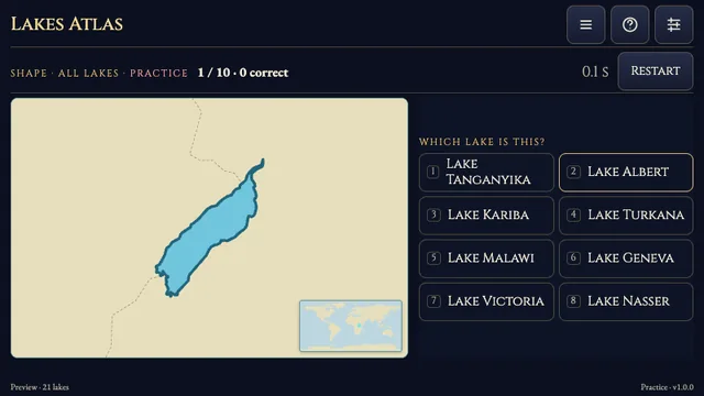
- Map: identify the reviewed reference location from eight names. Countries and River ask for one of six supported answers; either supported country is accepted for border falls.
- Height Reserve: make ten total-height estimates from 1,000 points. Inside the accepted range costs nothing; outside it, loss grows with distance to the nearest edge.
- Matching Table: choose a name and its photograph. Match ten pairs; each wrong pair adds three seconds.
- The clock counts open questions and stops on reveals. Help and settings keep it running. The preview is practice only.
Controls
| Tap / click | Choose an answer or pair; select a gap, then confirm with Place here |
|---|---|
| 1–8 | Choose a quiz answer |
| Arrow keys · Enter | Move between choices and confirm |
| H · R · Escape | How to play, restart, return |
Tips for Waterfall Atlas
- Compare the named feature A complete waterfall system and its tallest individual drop can have different heights. Use the competition’s measurement.
Questions about this game
Why are some competitions unavailable?
Photographs, heights, streams, countries and reference locations qualify separately. Each competition needs enough verified facts and distinct choices to finish a complete run.
Why does a height sometimes appear as a range?
Two independent source accounts can report slightly different heights for the same feature. Reviewed agreements within 15% can play as a range; an estimate inside that range costs nothing.
Can I submit a record?
This first preview is practice only. Named records are planned for the fully reviewed release.
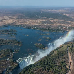
Individual photograph creators, licences and source changes are linked in the game. Total-system and largest-drop facts use separately reviewed source accounts. Context maps: Natural Earth, public domain. No ads, SDKs or analytics inside the game. Backdrop: Victoria Falls photograph by Diego Delso, delso.photo, CC BY-SA 4.0, via Wikimedia Commons. Gameplay cover: Takakkaw Falls photograph by Jack Borno, CC BY-SA 3.0, via Wikimedia Commons, presented in the game interface.
About Waterfall Atlas
A practice preview with56 photographed waterfalls and nine competitions: recognize pictures and map locations, identify countries and rivers, match names, compare total heights or single drops, and estimate total heights.
Every waterfall has a reviewed photograph. Total cascade height, tallest single drop and geography qualify separately; unresolved facts stay outside their affected competitions. Named records will open with the reviewed full release.